Logos, Posters, Educational Maps
This collection of visual projects were created using various programs including ArcGIS and Canva.
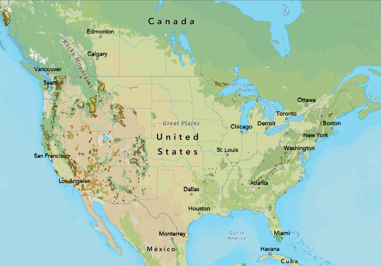
Illustration of every declared wilderness area in the United States—illustrates clearly how broken up wilderness areas are.
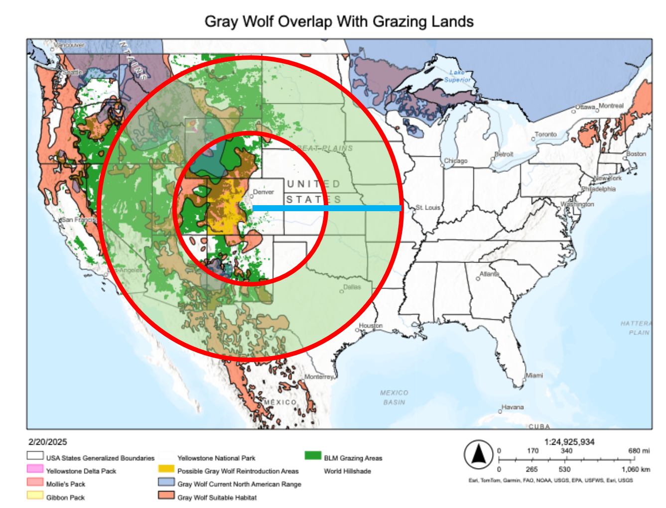
Map showing the potential range a wolf can travel from its place of birth.
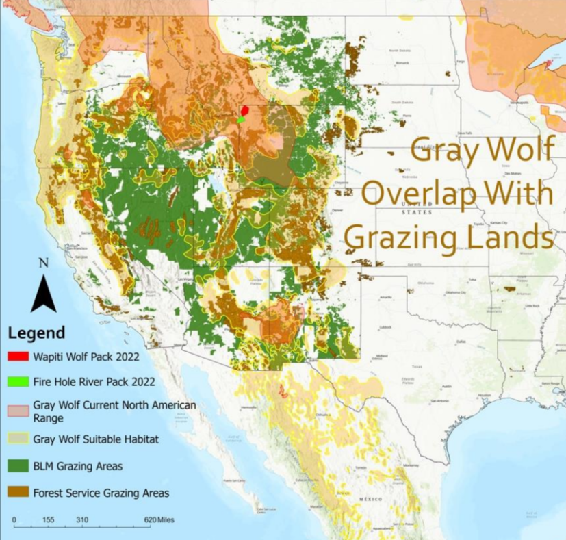
Map showing the overlap between potential wolf habitat and grazing permitted regions: showing likely zones of future conflict if wolf populations are allowed to spread.
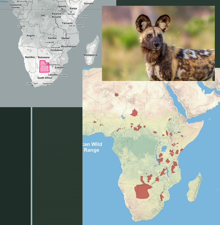
Maps showing the location and size of Wild Dog protected areas with Utah for scale.


Logo Creations


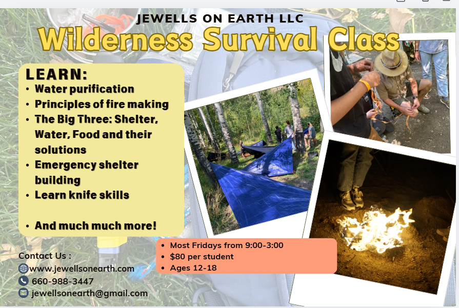
Flyers I made for a couple survival classes I taught.